Blank US map to print
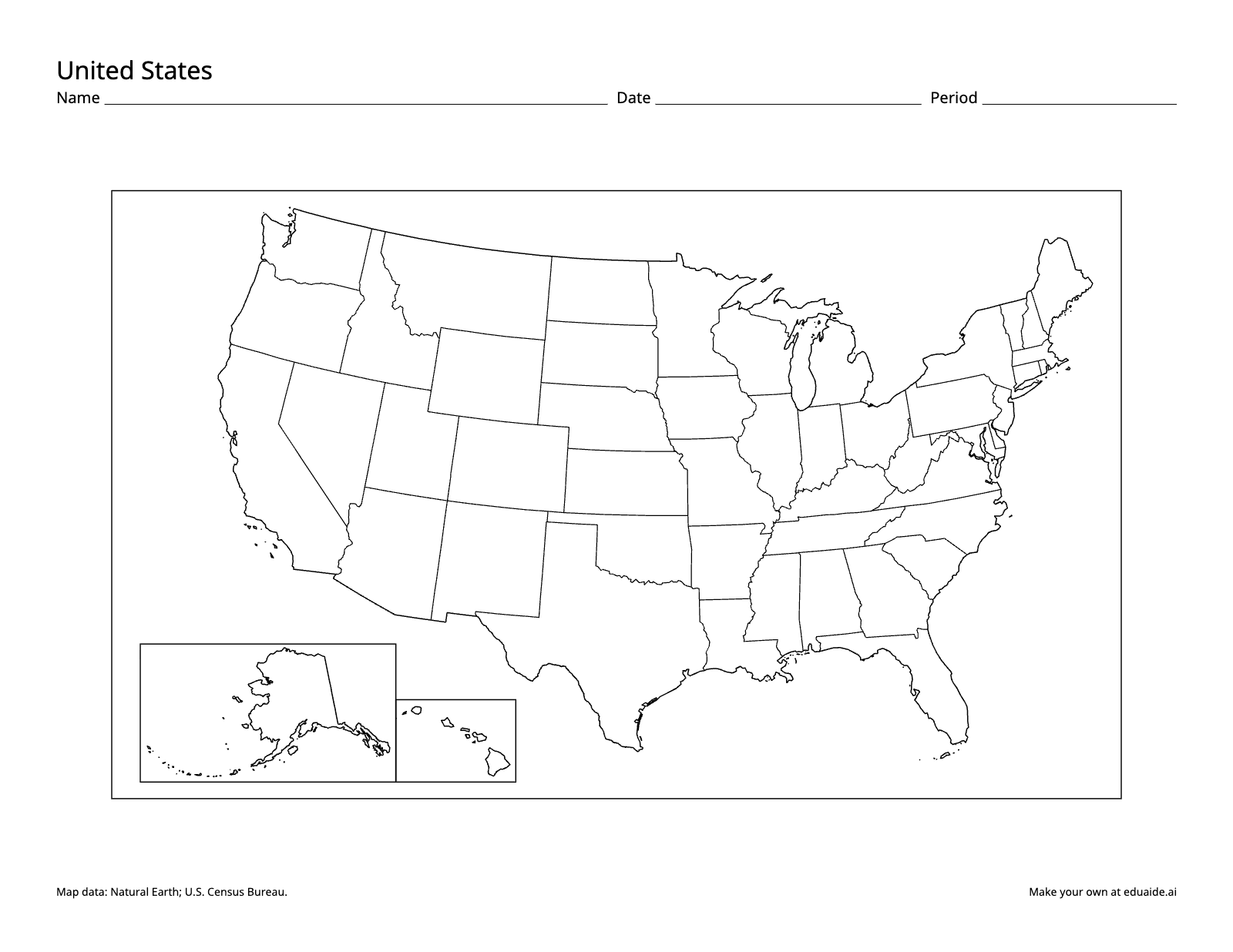
Map worksheet: United States. A blank outline map with no labels.
No account needed for the maps. The 50 states quiz is free with an Eduaide account. Numbered quiz of all 50 states with answer lines and a word bank, Version B, and an answer key for each version.
How teachers use it
Start with the blank map
Hand out the blank outline map at the start of a US geography unit and ask students to label what they already know. It takes ten minutes and shows you who can find their own state, who confuses the Dakotas and who has never placed the Great Lakes. Collect the maps and keep them: the same sheet at the end of the unit shows growth better than any quiz score.
Teach with the labeled map
The labeled map names all 50 states. Alaska and Hawaii sit in insets at the lower left, the way most atlases draw them, so point out that the insets are not to scale or in place. Use it as a reference sheet in notebooks, or project it while students color regions, trace a river or mark where each state joined the Union.
A few small eastern states have their names beside them on short lines, West Virginia's name is broken over two lines, and the smallest states show their postal abbreviations, such as NH and CT. Show students how to read those before they work on their own.
Check what they learned with the quiz
With a free account you can download a numbered quiz: all 50 states with answer lines and a word bank, plus Version B with the numbers shuffled, and an answer key for each version. Give the word bank to students who need it and take it away for a final test by covering it when you copy. Hand out Version A and Version B to neighbors so they can't share answers.
Standards it supports
- C3 Framework, Geography: D2.Geo.1.3-5, constructing maps of familiar and unfamiliar places, and D2.Geo.2.3-5, using maps to explain relationships between the locations of places and regions and their environmental characteristics.
- State standards that ask students to name and locate the 50 states, often in upper elementary US studies.
- AP Human Geography, Unit 1 (Topic 1.1), as a reference map to compare with the thematic maps students read.
Printing tips
The maps are letter size with lines heavy enough to survive a photocopier. Print the landscape page at 100% scale, not "fit to page", so the lines and labels stay crisp. Every page keeps a small credit line for the map data and the eduaide.ai address, so a colleague who gets a copy can find the rest.
What teachers ask about these maps
Is it free?
Yes. The blank and labeled maps download free, with no account. A free Eduaide account also unlocks the 50 states quiz, and no credit card is needed.
Do I need an account?
Not for the blank and labeled maps: download them straight from this page. The numbered quiz, Version B and answer keys need a free account, made with Google, Microsoft or your email.
Can I copy these maps for my class?
Yes. You may print, copy and share them with the students you teach and their families, in a school, a homeschool or a co-op. Please keep the map data credit at the bottom of each page, and don't sell the maps.
Why are Alaska and Hawaii in boxes?
They are drawn as insets so the 48 contiguous states can fill the page. The insets are not to the same scale as the main map, and they are not where the states really are.
What paper size are the maps?
US letter, 8.5 by 11 inches. Print at 100% scale so the lines and labels come out as drawn.
Where Good Ideas Become Great Lessons
Start with an objective, a topic, or a source. Leave with classroom-ready materials you can teach from.